")
")
")
")
")
")
")
-
Boat Show Specials, Garmin, Garmin Chartplotters
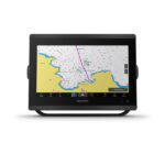
Garmin GPSMAP 8412xsv – Chartplotter With Worldwide Basemap & Sonar
-16%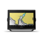 Boat Show Specials, Garmin, Garmin Chartplotters
Garmin GPSMAP 8412xsv – Chartplotter With Worldwide Basemap & Sonar
Garmin GPSMAP 8412xsv – With Worldwide Basemap & Sonar – SERIOUS ANGLERS, CRUISERS, SAILORS AND SAIL RACERS DEMAND SERIOUS EQUIPMENT
The easy-to-use, easy-to-install chartplotter/sonar combo delivers MFD performance in a combo-size package.

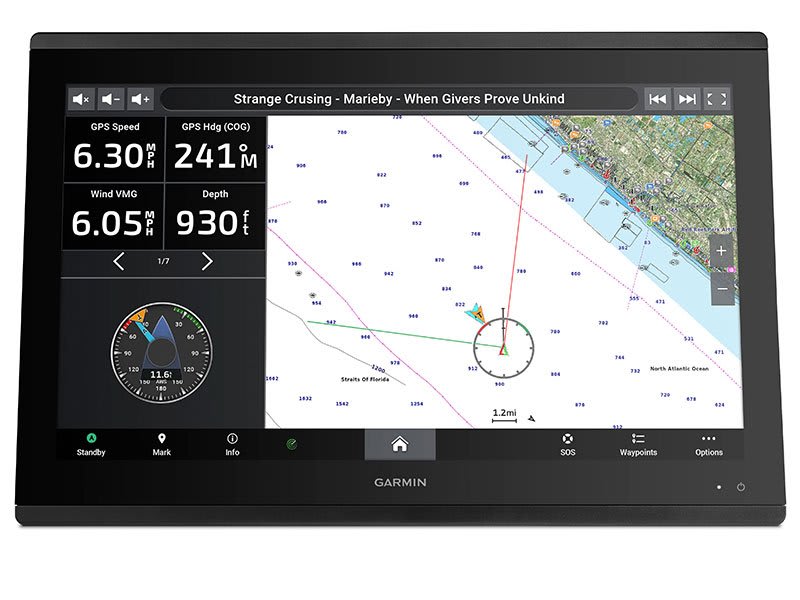
Get wider viewing angles and superior clarity on the touchscreen with a full HD in-plane switching (IPS) display.

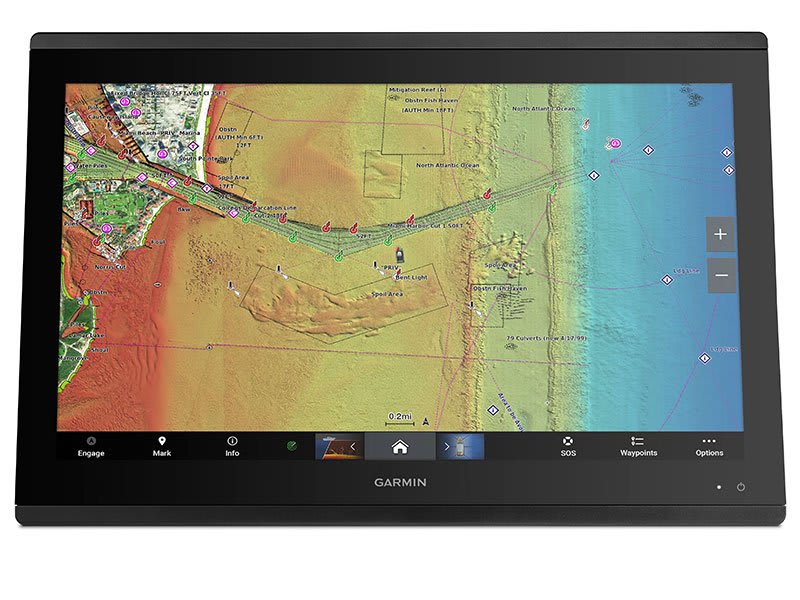
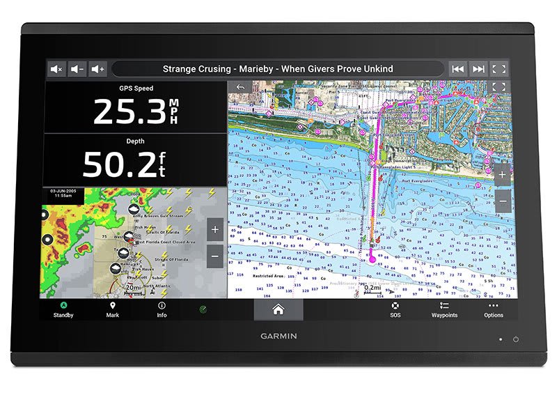
It’s compatible with premium maps and charts for the best in Garmin navigation.

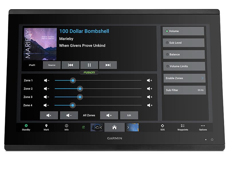
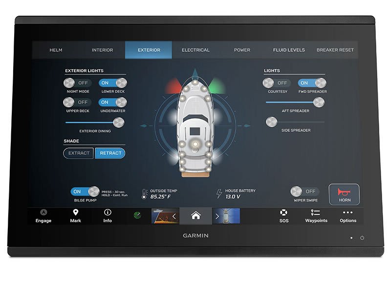
Easily build your marine system using the best of network connectivity.

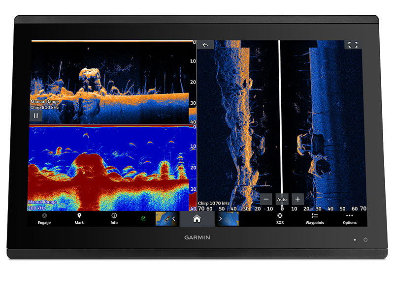
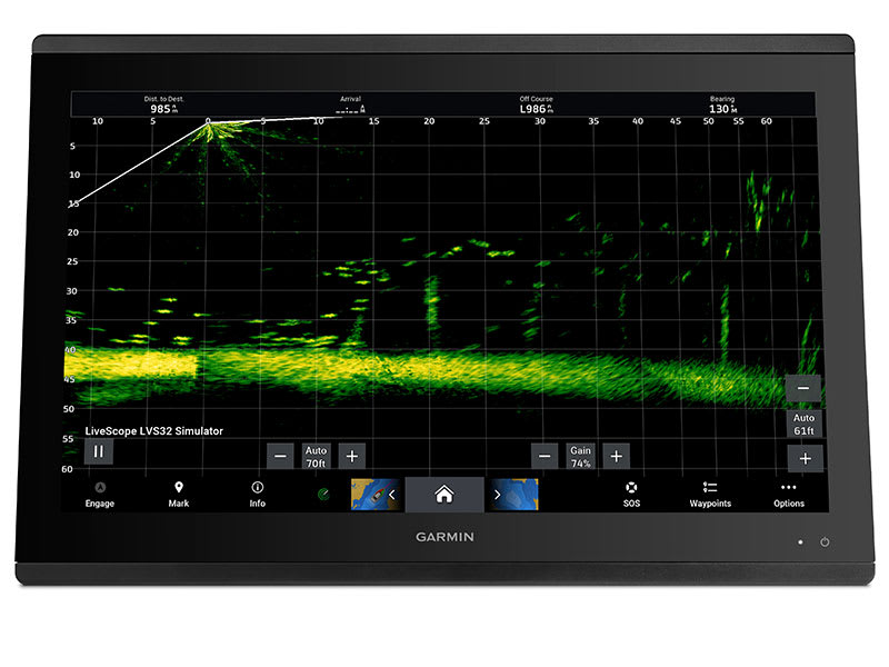
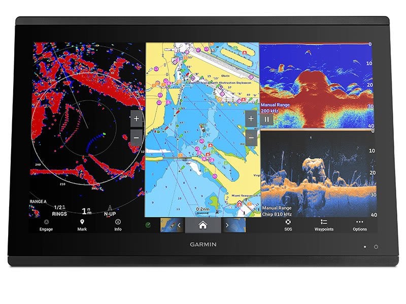
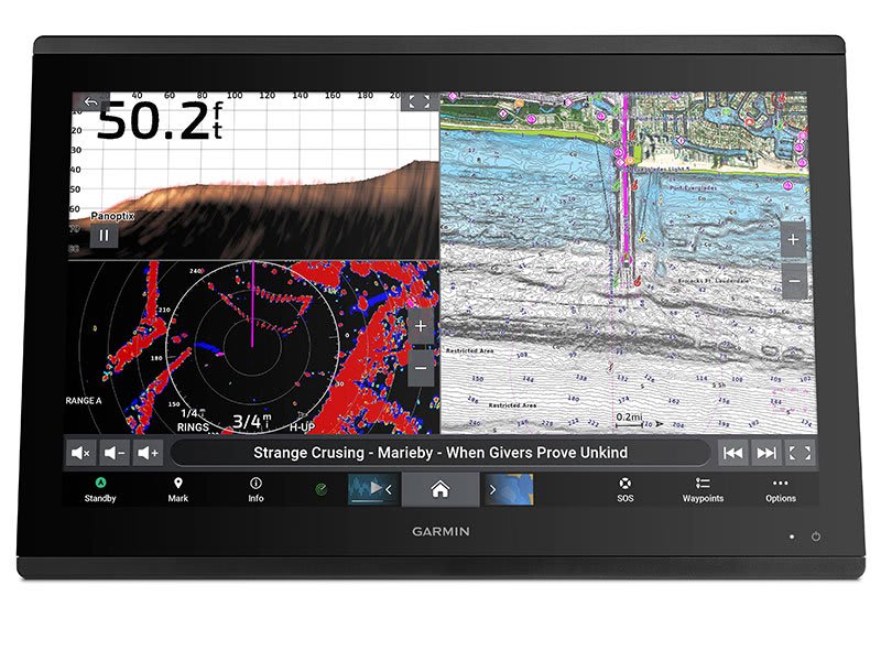
See below and around your boat with built-in sonar capabilities (transducers sold separately)

From ANT® technology to Wi-Fi® networking, there are countless ways to connect to your system.

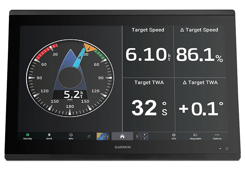
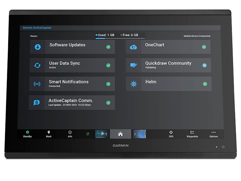
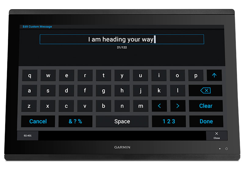
With SmartMode™ station controls, everything is designed to give you quick, one-touch access to the information you need.
SKU: 010-02092-02 -

$5,039.95 for 3 item(s)


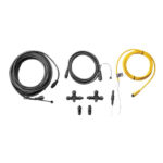
 What’s in the box?