-
×
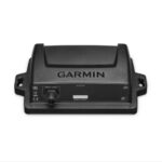
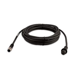 Garmin Marine Heading Sensor Cable to Connect to NMEA 2000 Network (Part No. 010-11419-00)
1 × $129.00
Garmin Marine Heading Sensor Cable to Connect to NMEA 2000 Network (Part No. 010-11419-00)
1 × $129.00
Subtotal: $129.00


$2,399.00 $2,599.00
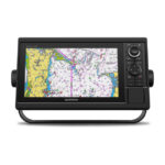
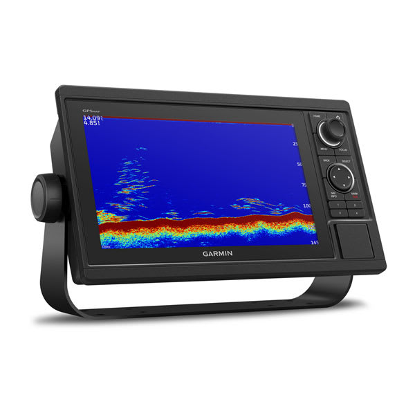
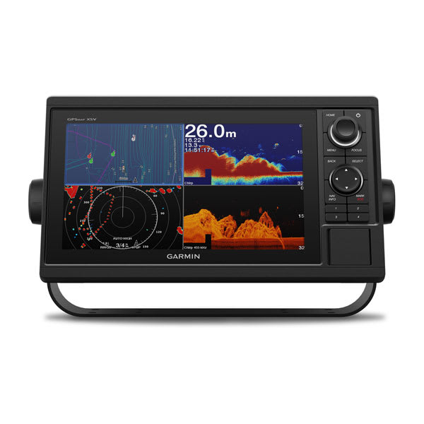
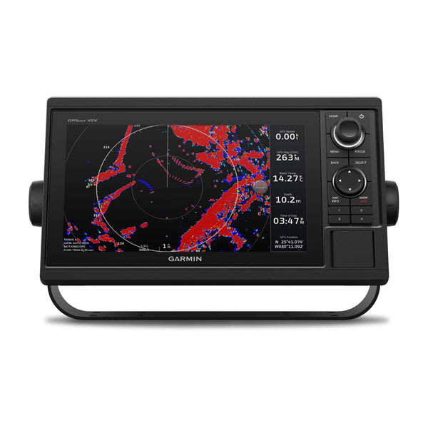
These chartplotters feature large, bright screens coupled with quick and easy-to-use keypad interfaces with user-programmable keys and multifunction control knobs to help you navigate with ease.

Get wider viewing angles on a vivid 10″ or 12″ colour display.

These are compatible with our premium maps and charts for the best in Garmin navigation.

Share information among multiple units, thanks to Garmin Marine Network support.

See fluid position and heading changes with update rates of 10 times per second.

Easily transfer waypoints, tracks and routes from your other GPS devices.

See what’s around your boat with built-in sonar capabilities on select models (transducers sold separately).
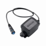
This adapter allows you to connect the wires on legacy 6-pin transducers with newer sonar that require a 8-pin connection.
The 9-axis heading sensor is our premium solution that is easy to install and provides fast calibration and exceptional heading accuracy.
Its heading output at 10 Hz and accuracy of plus or minus 2 degrees ensures your chart orientation and boat heading line match up with reality, even at lower speeds. It also allows for MARPA tracking and improves radar overlay experience.
You can also be confident your heading information will remain accurate, even in rough sea conditions where your bow is pitching and rolling or — in sailboat applications — when heeled over. Provides heading and rate-of-turn output at 10 Hz and trim and heel output at 1 Hz.
The 9-axis heading sensor installs easily with NMEA 2000® plug-and-play interface and a simple 2-step precision calibration process for compatible Garmin chartplotters. For displays other than Garmin, basic calibration is also supported. The heading sensor’s 9-axis MEMS technology allows installation in any orientation located away from magnetic interference. All of our heading sensors are built to withstand bilge environments.
These chartplotters feature large, bright screens coupled with quick and easy-to-use keypad interfaces with user-programmable keys and multifunction control knobs to help you navigate with ease.
Get wider viewing angles on a vivid 10″ or 12″ colour display.
These are compatible with our premium maps and charts for the best in Garmin navigation.
Share information among multiple units, thanks to Garmin Marine Network support.
See fluid position and heading changes with update rates of 10 times per second.
Easily transfer waypoints, tracks and routes from your other GPS devices.
See what’s around your boat with built-in sonar capabilities on select models (transducers sold separately).
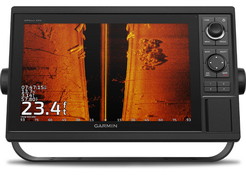
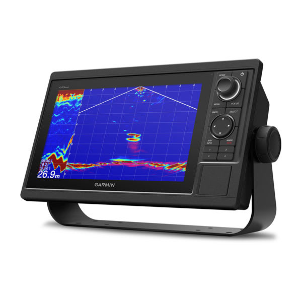
The chartplotters include built-in single-channel CHIRP sonar plus CHIRP ClearVü™ and CHIRP SideVü™ scanning sonars with Panoptix™ and LiveScope™ sonar support on select models (transducers sold separately).
Enjoy built-in ANT wireless connectivity directly to your compatible Garmin devices such as quatix® marine watches, gWind™ Wireless 2 transducers , GNX™ Wind marine instruments and wireless remote controls.
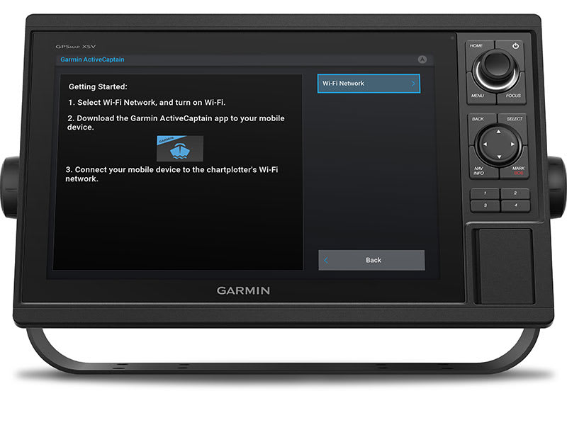
Built in Wi-Fi® technology gives you access to the free all-in-one ActiveCaptain app, so you can manage your marine experience from nearly anywhere on your compatible smartphone.

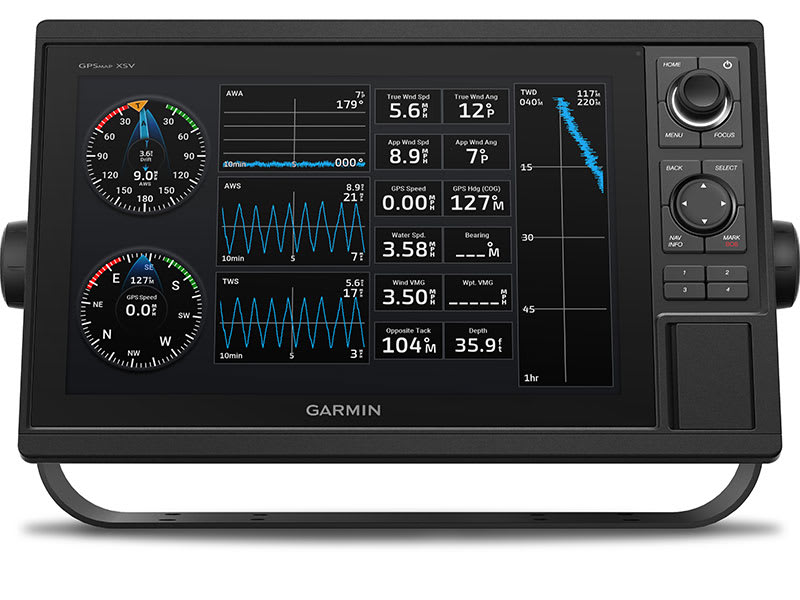
Use the polar table to view important data fields to help you trim your sails for maximum speed and efficiency. You can also see laylines, set and drift, true and apparent wind data (sensor sold separately), and more.
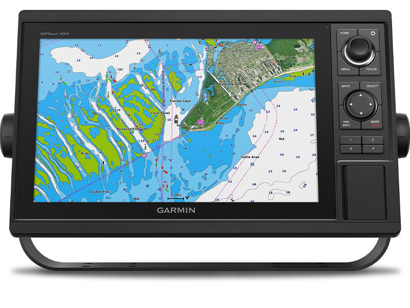
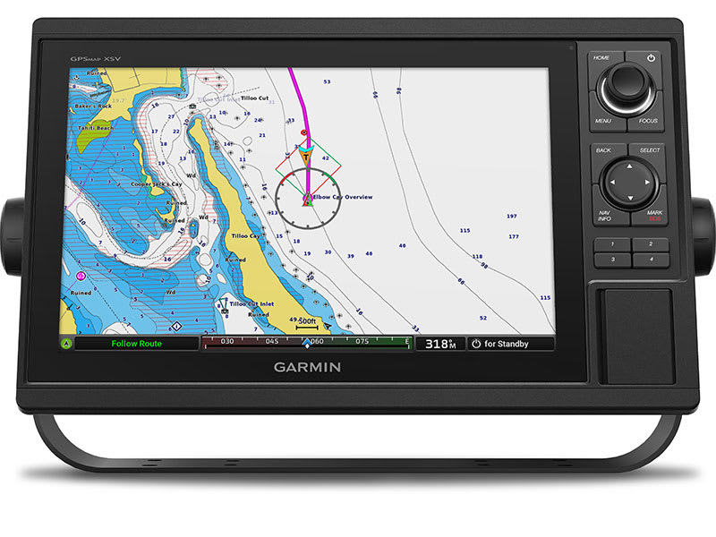
Bring a fresh new look and feel to your chartplotter with optional Garmin Navionics+™ or premium Garmin Navionics Vision+™ cartography featuring integrated coastal/inland content, access to daily updates, Auto Guidance+™ technology1 and more.
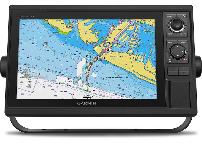
The fast, responsive built-in 10 Hz GPS and GLONASS receiver refreshes your position and heading 10 times each second to make your movement on the screen more fluid.
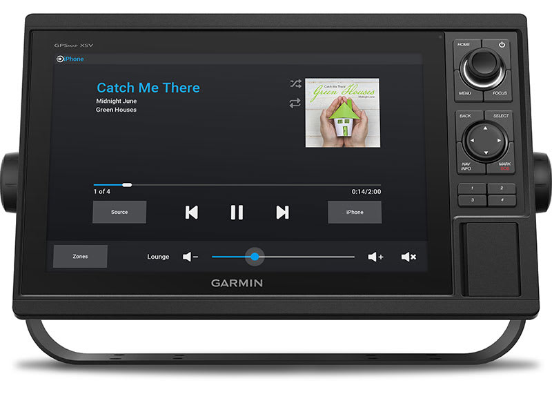
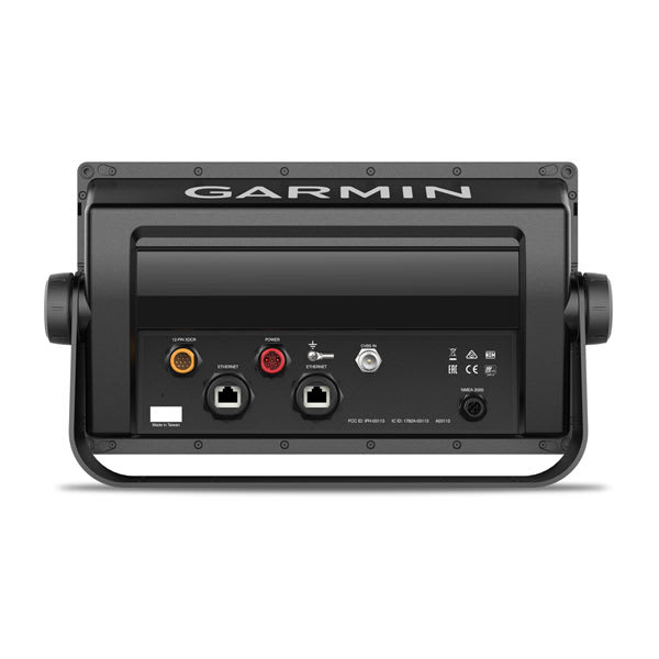
The GPSMAP chartplotters are fully network capable for the Garmin Marine Network and NMEA 2000® networking plus NMEA 0183 technology support.
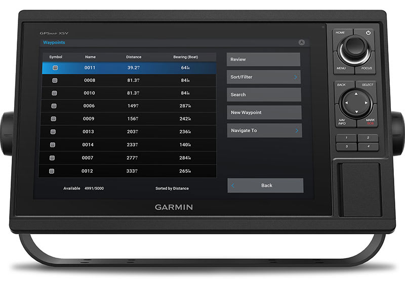
Easily transfer waypoints, tracks or frequently used routes from other devices via industry standard GPX software formatting.
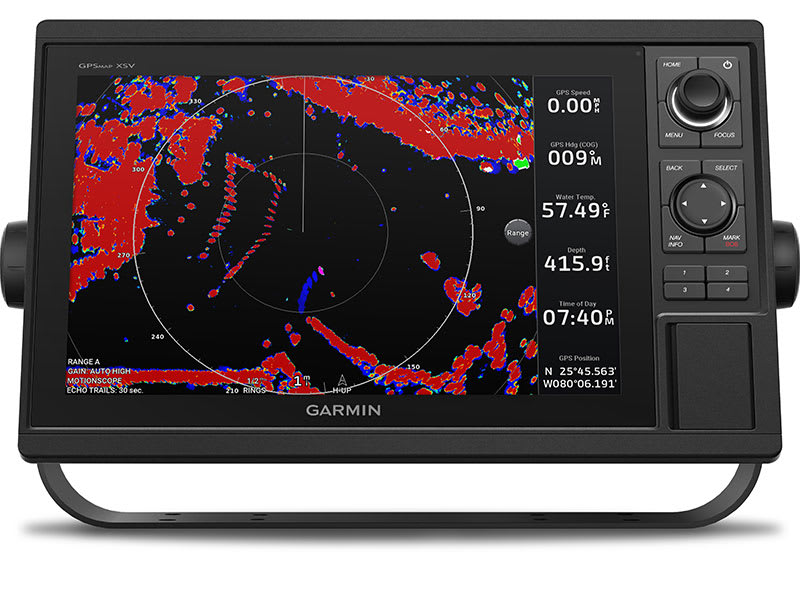
Garmin Marine Network support allows sharing of sonar, maps, user data, dome or open-array radar, and Panoptix and LiveScope sonars among multiple units.
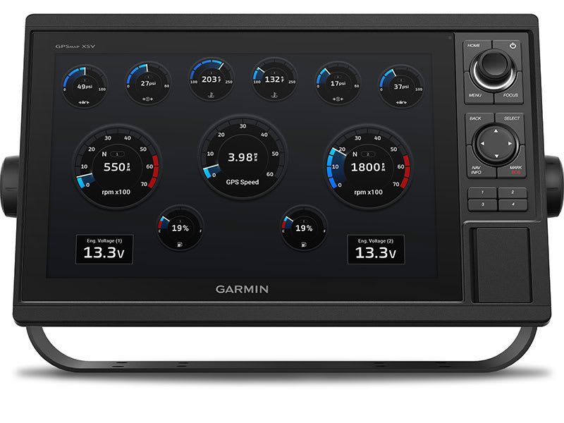
Read RPMs, fuel flow, temperature, trim and other important information at a glance. Check with your engine manufacturer for additional hardware needs.
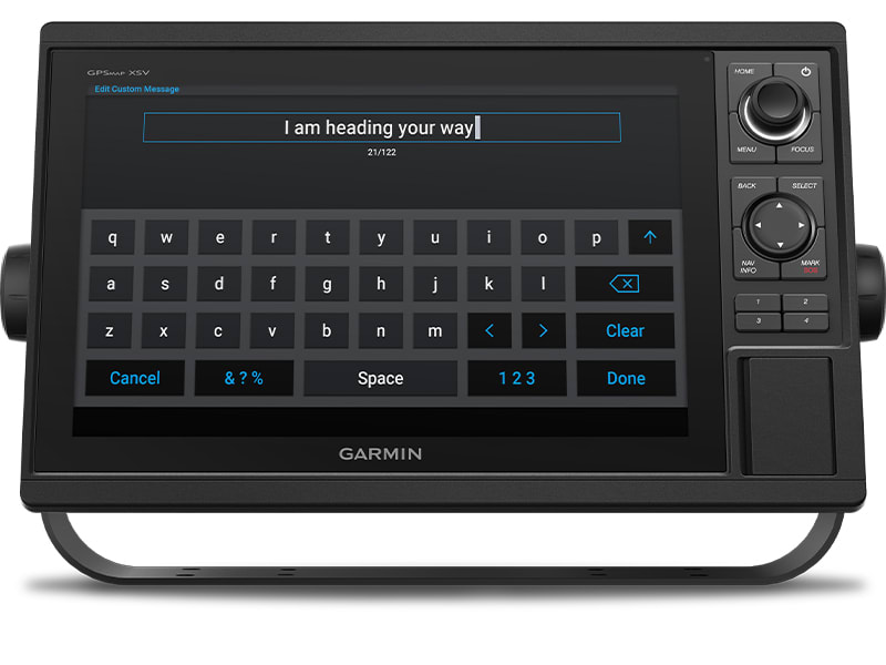
Pair your inReach satellite communicator2 to your chartplotter, and type custom messages using your MFD’s on-screen keyboard. Access your contact list or enter an email, inReach address or phone number. You can also group messages by conversation for a texting-like experience.
| Weight | 1.9 kg |
|---|
General |
|
| DIMENSION | 12.5″ x 7.3″ x 2.7″ (318 x 185 x 69 mm) |
| WEIGHT |
4.1 lbs (1.85 kg) |
| WATERPROOF |
IPX7 |
| DISPLAY TYPE | WSVGA, NP |
| DISPLAY SIZE | 8.8″ x 4.9″; 10.1″ diagonal (22.4 x 12.5 cm; 25.7 cm diagonal) |
| DISPLAY RESOLUTION | 1024 x 600 pixels |
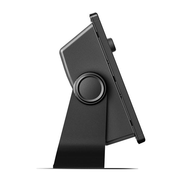
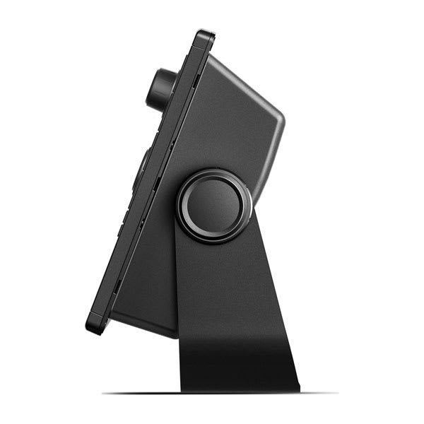
| MOUNTING OPTIONS | Bail or flush |
| INPUT | Keyed |
Maps & Memory |
|
| ACCEPTS DATA CARDS |
2 SD™ cards |
| WAYPOINTS |
5000 |
| TRACK POINTS | 50,000 |
| TRACKS | 50 saved tracks |
| NAVIGATION ROUTES | 100 |
Sensors |
|
| GPS | ✔ |
| GLONASS | ✔ |
| HAS BUILT-IN RECEIVER | ✔ |
| RECEIVER | ✔ |
| NMEA 2000 COMPATIBLE | ✔ |
| NMEA 0183 COMPATIBLE | ✔ |
| SUPPORTS WAAS | ✔ |
Built-in maps |
|
| TIDE TABLES | ✔ |
Optional map support |
|
| BLUECHART G3 | ✔ |
| BLUECHART G3 VISION | ✔ |
| LAKEVÜ G3 | ✔ |
| LAKEVÜ G3 ULTRA | ✔ |
| GARMIN NAVIONICS+™ | ✔ |
| GARMIN NAVIONICS VISION+™ | ✔ |
| TOPO | ✔ |
| STANDARD MAPPING | ✔ |
| GARMIN QUICKDRAW CONTOURS | ✔ |
| RASTER CHART SUPPORT | ✔ |
Chartplotter Features |
|
| SMART MODE COMPATIBLE | ✔ |
| AIS | ✔ |
| DSC | ✔ |
| SUPPORTS FUSION-LINK™ COMPATIBLE RADIOS | ✔ |
| GSD BLACK BOX SONAR SUPPORT | ✔ |
| GCV BLACK BOX SONAR SUPPORT | ✔ |
| ACTIVECAPTAIN MOBILE PLANNING COMPATIBLE | ✔ |
| GRID (GARMIN REMOTE INPUT DEVICE) COMPATIBLE | ✔ |
| WIRELESS REMOTE COMPATIBLE | ✔ |
| SAILING FEATURES | ✔ |
Electrical features |
|
| POWER INPUT | 10 to 32 Vdc |
| TYPICAL CURRENT DRAW AT 12 VDC | 1.9 A |
| MAXIMUM CURRENT DRAW AT 12 VDC | 2.7 A |
| MAXIMUM POWER USAGE AT 10 VDC | 32.4W |
Sonar Features & Specifications |
|
| DISPLAYS SONAR | ✔ |
| POWER OUTPUT | 1 kW |
| TRADITIONAL SONAR (DUAL FREQUENCY/BEAM) | built-in (single channel CHIRP, 70/83/200 kHz, L, M, H CHIRP) |
| CLEARVÜ | Yes with CHIRP (built-in) |
| SIDEVÜ | Yes with CHIRP (built-in) |
| PANOPTIX™ SONAR | ✔ |
| LIVESCOPE | ✔ |
Connections |
|
| NMEA 2000® PORTS | 1 |
| CONNECTIONS NMEA0183 INPUT PORTS | 1 |
| NMEA 0183 INPUT (TX) PORTS | 1 |
| VIDEO INPUT PORTS |
1 BNC |
| GARMIN MARINE NETWORK PORTS |
2 |
| BLUETOOTH® PAIRING | ✔ |
| ANT+ (CONNECTIVITY) | ✔ |
| GARMIN WI-FI NETWORK (LOCAL CONNECTION) | ✔ |
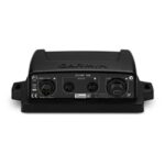
The GND 10 black box bridge seamlessly integrates Nexus instruments and sensors with the Garmin family. It converts data between the Nexus Network and NMEA 2000 to provide compatibility between Nexus and Garmin products, including gWind™ and gWind™ Race transducers. Simple plug-and-play installation between Nexus and NMEA 2000, with USB connectivity, eliminates the need for user setup and system configuration.
GND 10 allows PC applications, such as NexusRace, Expedition, Adrena or SeaTrack, to communicate sailing-specific functions between Nexus and NMEA 2000 networks. It also enables GND 10 software updates over NMEA 2000. Existing NexusRace PC application can be used to update software, configure and calibrate Nexus devices over USB using the FDX protocol.
The GPS 24xd position receiver and antenna gives you precise location with multi-band GNSS and heading accuracy even at slow speeds.

Navigate in more locations with expanded GNSS support.

Get high-sensitivity tracking with fast GPS update rate.

Accurately pinpoint your heading — regardless of speed.

It’s water-resistant (IPX7) to withstand the elements.

Install it easily with multiple mounting options.

The antenna is compatible with NMEA 2000® devices.

Multi-band GNSS provides precise location accuracy1 to within 1 metre to compatible marine multifunction displays, instrument displays and autopilots.
The magnetic heading sensor provides accuracy to within 3 degrees, stabilising charts, radar overlay and MARPA even at slow speeds.
Fast 10 Hz position update rates provide high-sensitivity position, velocity and time data.
GPS 24xd provides access to four key global navigation satellite systems (GPS, Galileo2, GLONASS and BeiDou2) to more accurately track in challenging conditions than GPS alone.
Multi-SBAS compatibility corrects signal measurement errors and provides information about the accuracy, integrity, continuity and availability of its signals.
Installation is easy with under-deck, pole and surface-mount options.
 What’s in the box?
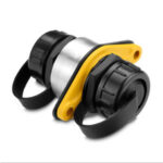
Connect a thermal camera, underwater lighting or boat stabilizing system to a compatible GPSMAP® series Garmin chartplotter with this PoE (Power over Ethernet) isolation coupler. The coupler provides connectivity to the Garmin Marine Network; without it the network will not function correctly and could possibly damage your Garmin unit and/or PoE device.
The 9-axis heading sensor is our premium solution that is easy to install and provides fast calibration and exceptional heading accuracy.
Its heading output at 10 Hz and accuracy of plus or minus 2 degrees ensures your chart orientation and boat heading line match up with reality, even at lower speeds. It also allows for MARPA tracking and improves radar overlay experience.
You can also be confident your heading information will remain accurate, even in rough sea conditions where your bow is pitching and rolling or — in sailboat applications — when heeled over. Provides heading and rate-of-turn output at 10 Hz and trim and heel output at 1 Hz.
The 9-axis heading sensor installs easily with NMEA 2000® plug-and-play interface and a simple 2-step precision calibration process for compatible Garmin chartplotters. For displays other than Garmin, basic calibration is also supported. The heading sensor’s 9-axis MEMS technology allows installation in any orientation located away from magnetic interference. All of our heading sensors are built to withstand bilge environments.
The GT54UHD-TM transducer provides image details so clear and precise, you can actually see fish hanging just off branches of submerged trees, brush and rocks. You can see size differences between bigger and smaller fish and even see individual fish swimming in bait balls. You get the highest resolution ClearVü and SideVü scanning sonar images available plus amazingly clear high wide CHIRP traditional sonar1 — all in one transducer.
Ultra High-Definition scanning sonar provides extended range and depth performance. It shows you incredibly detailed images of fish and structure up to 200’ below your boat with 800 kHz ClearVü, while two SideVü sonar frequency settings (455/1200 kHz) provide options for extended range of up to 500’. It’s easy to install with included transom and trolling motor mounts so you can start fishing faster.
¹For use with GPSMAP® 8400xsv/8600xsv chartplotter/sonar combos
Garmin GLO Remote GPS Sensor with Bluetooth [Garmin Part Number: 010-01055-00] – RRP $149
Navigate with Garmin-caliber GPS data on the mobile device of your choice. GLO brings you the best of both worlds by combining GPS/GLONASS receivers with Bluetooth® technology so you can enjoy precise position information on your iPad, iPhone or Android device.
The Accuracy of GPS + GLONASS
GLO can receive position information from both the GPS and GLONASS satellite constellations, allowing it to connect to up to 24 more satellites than devices that rely on GPS alone. This allows GLO to lock on to satellites approximately 20 percent faster and remain connected even at high speed. What’s more, GLO updates its position information at 10 times per second — that’s up to 10 times more often than the GPS receivers in many mobile devices.
Set It Up and Go
Using Bluetooth technology, GLO wirelessly pairs to your mobile device. Just set GLO within range of your mobile device, and in moments you’ll be receiving GLO’s position data. It has up to 12 hours of battery life to keep your position on long trips, and charging GLO between uses is easy with the included USB cable or optional 12/24 volt cigarette lighter adapter. The optional friction mount keeps the receiver safe on your dashboard and in full view of satellites.
SPECIFICATIONS:
Physical & Performance
* Unit size, WxHxD: .70″ x 1.65″ x 3.04″ (1.78 x 4.19 x 7.72 cm)
* Weight: 2.12 oz (60.1 g)
* Receiver Technology: GPS+GLONASS
* WAAS: Yes
* Update Rate: 10 Hz
* Accuracy: 3 meters
* Battery Capacity: 1100mAh
* Battery Life: 12 hours
* Hot Start Time: 3–5s
* Warm Start Time: 35s
* Cold Start Time: 60s
WHAT’S IN THE BOX:
* GLO receiver
* USB cable
* Documentation
WARRANTY:
We are an authorised Australian Garmin retailer, as such Full Australian Manufacturers Warranty is applicable for this item. Please note if a Garmin unit is purchased overseas or from a non-authorised Garmin retailer you may not receive warranty coverage in Australia.
*Specifications from suppliers’ information. Actual depth capabilities depend on transducer installation, bottom type & water conditions. All sonars typically read deeper in freshwater than in saltwater. Images for display purposes only.
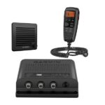
Garmin VHF 315i Marine Radio – Enjoy Reliable Communication
The 25-watt VHF 315i marine radio with Class D DSC is a modular communication solution. It provides the security of reliable communication and full NOAA weather alerts on the water by meeting the latest industry standards. It’s easy to use and integrates seamlessly into the Garmin onboard system. It has a built-in GPS receiver with connector for required external antenna. VHF 315i includes a GHS 11 handset and new active speaker to use as an intercom between up to 3 stations. It’s also equipped with a two-way 30-watt hailer system for communication with other boats or deckhands. NMEA 2000 connectivity enables easy integration with compatible chartplotters, multifunction displays and convenient software updates. Simplified handset connectors and an uncomplicated, easy-to-use interface allow you to get your radio set up quickly, so you can get back out on the water and start communicating.
Specs
In the Box
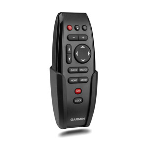
Use this portable keyed remote to wirelessly control your compatible GPSMAP® series chartplotter. Includes cradle and lanyard. Two AAA batteries are required (not included).