-
×
 Uniden Handheld Waterproof 2.5W VHF Radio - MHS050
1 × $190.80
Uniden Handheld Waterproof 2.5W VHF Radio - MHS050
1 × $190.80
Subtotal: $190.80

・Equipped with 8-position rotary clip
・Compact type
| Weight | 0.2 kg |
|---|
| Connector information | 1 pin 4 poles |
|---|---|
| Cable Length | 380 mm; 15.0 in (with coiled cable) |
| Waterproof | IPX7 |
| Weight | 96 g |
GPS 4-Ways
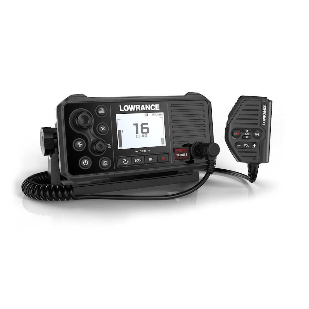
With the integrated GPS receiver the Link-9 has four ways to ensure you have a GPS fix in the event of an emergency – built-in antenna, SMA connector for GPS-500 antenna, NMEA 0183 for chartplotter GPS and NMEA 2000® for network antenna connection.
Built-in AIS
A dual-channel AIS receiver monitors the position of nearby AIS-equipped vessels, helping you to avoid collisions in crowded harbours and waterways. AIS information can be viewed on the Link-9’s built-in screen, or overlaid on your chart or radar screen through a compatible multifunction display.
Remote Mountable Fist Mic
The Link-9’s removable fist mic can be connected to the front or rear of the radio – optional extension cable allows the radio and mic to be mounted separately. This offers a simple and cost-effective solution for any mounting location, with no cable clutter.
Easier Front-Mount Installation
Link-9 features easily removable top and bottom bezels which reveal mounting holes allowing the same style of mounting from the front that is featured on Lowrance MFDs.
Navigation Mode
Press the NAV button on the Link-9 to turn it into a navigational instrument displaying your Speed and Course. Link-9 also contains a Man Overboard (MOB) function, hold down the NAV/MOB button to drop a waypoint on your current location and the Link-9 will enter MOB mode to show you how far away you are and where you need to steer to get back to the person in the water. The MOB waypoint is also transmitted over NMEA 2000 to the rest of your network.
Details:
### GARMIN SALE – ONLINE ONLY DEAL – WHILE STOCKS LAST – MUST END###
Garmin BlueChart g2 Vision – East Coast of Australia [Garmin Part Number: 010-C0756-00] – RRP $399
Get a fresh perspective when you take to the water with BlueChart® g2 Vision®. With BlueChart g2 Vision data, you’ll get detailed marine cartography that provides convenient viewing of nautical content and other premium features. BlueChart g2 Vision allows you to see your vessel’s precise, on-chart position in relation to naviads, coastal features, anchorages, obstructions, waterways, restricted areas and more. You will also have access to detailed mapping capabilities that include Safety Shading, Fishing Charts, smooth data transition between zoom levels, harmonious transition across chart borders, and reduction of chart discontinuities. Premium features include 3-D perspective above and below the waterline, Auto Guidance, high-resolution imagery, and “real picture” aerial photos of ports, harbours, marinas, waterways, landmarks and other points of interest. It’s the most realistic mapping display Garmin has ever offered.
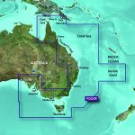
Detailed coverage of the Eastern coast of Australia from Mornington Island to Fowlers Bay (VPC022R). Also includes detailed coverage of Cape York, the Great Barrier Reef, Brisbane, Sydney, Melbourne, Adelaide, Tasmania, and Norfolk Island (if another region is required please contact us for availability).
THIS IS SUITABLE FOR CURRENT MODEL GARMIN GPSMAP 7407xsv, GPSMAP 7408xsv, GPSMAP 7410xsv, GPSMAP 7412xsv, echoMAP 75dv, echoMAP 75sv & echoMAP 95sv SOUNDER/GPS COMBO UNITS, PLEASE SEE RELATED PRODUCTS OR ASK FOR FURTHER INFORMATION.
WARRANTY:
We are an authorised Australian Garmin retailer, as such Full Australian Manufacturers Warranty is applicable for this item. Please note if a Garmin unit is purchased overseas or from a non-authorised Garmin retailer you may not receive warranty coverage in Australia.
*Specifications from suppliers’ information. Actual depth capabilities depend on transducer installation, bottom type & water conditions. All sonars typically read deeper in freshwater than in saltwater. Images for display purposes only.
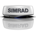
HALO24 revolutionizes radar by offering an almost real-time view, with industry-first 60 RPM operation at close range for the ultimate in collision avoidance. Identify hazards in an instant with VelocityTrack™ Doppler technology, and enjoy simultaneous short and long-range coverage—up to 48 nautical miles—from one compact 24-inch dome antenna.
Perfect for a wide range of smaller powerboats, HALO24 comes in a compact dome antenna and delivers high-quality short, mid and long-range detection. Monitor two distance ranges at once in Dual Range mode which enables you to keep an eye on far away weather cells while watching for collision hazards up close. HALO24 radar’s pulse compression technology means no compromises in detection at either selected range, while beam sharpening provides enhanced separation between small or distant targets.
HALO24 radar delivers a full 360 degree sweep every second, thanks to its industry-first 60 RPM rotation at ranges up to 1.5 nautical miles. These ultra-fast updates give you an almost real-time view at close range, offering the ultimate view for collision avoidance.
VelocityTrack™ technology provides instant visual feedback on whether targets are coming towards you or moving away. Simple colour coding highlights potential hazards, improving your situational awareness and further reducing your risk of collision. HALO24 radar automatically checks every target in range; there’s no need to manually select individual targets, and no limit to the number of targets on screen at one time.
HALO24 radar wakes instantly from its low-power standby mode, delivering this high-speed radar coverage exactly when and where you need it. Even if your HALO24 radar is completely powered down start-up is a matter of seconds, not minutes like traditional pulse radar. Whether you’re navigating through crowded waterways or contending with poor visibility, HALO24 radar immediately cuts through the clutter to give you a clear and current picture of your surroundings.
 Cable, RJ45 To 5 Pin,1.5m
 RJ45 Waterproofing Boot
 10m cable for HALO Dome Radar / Nemesis™
Stay in Contact on the Water
Communication is critical on the water. With the VHF 115i radio, you can stay in contact with the shore and other boats in your area. So, no matter where you are or where you’re headed, you’ll maintain communication.
Increase Your Peace of Mind
During an emergency situation, the 25-watt transmit power of VHF 115i gives fishermen, sailors and cruisers confidence at their fingertips.
Communicate Confidently on the Water
Easy to install and use, just plug and play to compatible Garmin chartplotters and MFDs via the NMEA 2000 network. VHF 115i provides standard Class D DSC functionality (distress calling and direct calling with user-programmed MMSI). The radio includes frequency bands for all U.S., Canadian and international marine channels and 10 NOAA weather channels. It’s also NMEA 0183 compatible.
Communicate with Style
Because your helm is a source of pride, we’ve designed the VHF 115i marine radio to complement GPSMAP® 7×2/9×2, GPMAP 10×2/12×2, GPSMAP 7400/7600 and GPSMAP 8400/8600 chartplotters and MFDs.